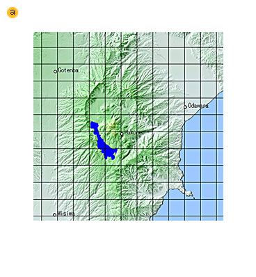
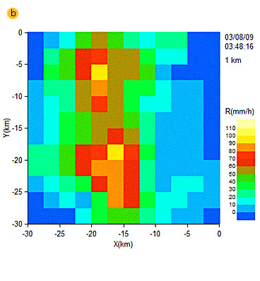
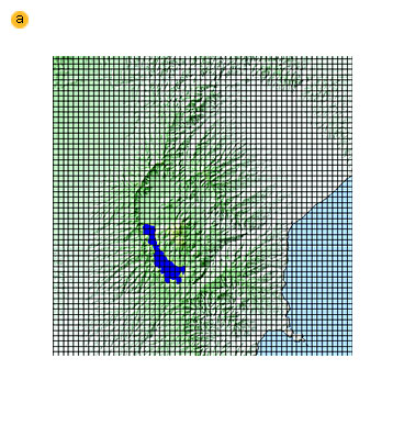
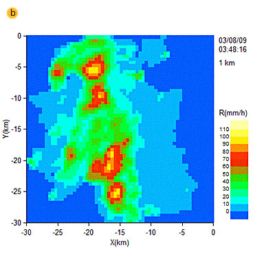
The spatial resolution of the radar-AMeDAS precipitation charts, which is operationally provided by the Japan Meteorological Agency as fields of hourly precipitation amounts, is 2.5 km. On the other hand, observations made with the MP-radar are at a resolution of 500 meters. Fig. 13 and Fig. 14 show the difference between these spatial resolutions. The 500m spatial resolution enables the provision of more detailed rainfall distribution compared with the 2.5 km spatial resolution. In order to predict disasters such as urban floods and shallow landslides, it is necessary for rainfall information to be as detailed as possible.
|
Hakone region topographical map, with 2.5 km mesh size.
|
|
|
Rainfall distribution at a 2.5-km mesh size.
|
|
|
Rainfall distribution at a 2.5-km mesh size.
|
|
|
Rainfall distribution at a 2.5-km mesh size.
|
|